- LOREM Region-specific
- Color-coded land ownership data:
- - Bureau of Land Management
- - State Land
- - State Parks
- - WMA, WPA, NWR, etc.
- - US Forest Service/National Grasslands
- - US Fish & Wildlife
- - Bureau of Indian Affairs
- - National Parks Service
- - DOD — COE-US Gov
- - Bureau of Indian Affairs
- - Local government
- 24K topographic features (20 ft contour intervals ~ 1:24K Equivalent)
- Section lines and numbers
- Geographic names (cities, creeks, manmade features, etc)
- Parcels within the city
- City parks, county open space, state parks
- Roads — city, hwy, county, forest service, back-roads, & trails
- National Forest roads, trails, and Recreation Sites
- Water data (creeks, rivers, lakes)
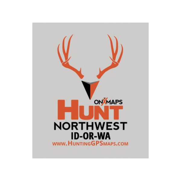
- Map Coverage: Washington, Oregon, Idaho
- Manufacture Item Number: HUNT-NW-SD
HUNT Northwest for Garmin by onXmaps [V13.1]
We've combined BLM, Forest Service, USGS Topo Quad, and PLAT book maps to give you HUNT Northwest for Garmin GPS, the most informative GPS map of the Northwest region ever created! This microSD Chip gives you a color-coded map of Washington, Oregon, & Idaho showing public land boundaries with hunting areas, topo information, roads, trails, and much more. Map data is collected from multiple sources and organized in a way that makes our HUNT Northwest Map intuitive and helps you reduce map clutter and get back to hunting! Endorsed by numerous State and Federal agencies, including many Game & Fish Departments, HUNT Northwest for Garmin GPS by onXmaps is the most reliable source for Northwest land ownership maps on the market!
HUNT Northwest for Garmin Advantages- Northwest region-specific with color-coded land ownership status
- Discover little-known, seldom-hunted public land
- Navigate confidently around private lands you're not allowed to hunt
- Easily identify hunting areas
- Recognize public and private lands with straightforward color-coded ownership
- Access roads — (hwy, city, back-roads, trails, etc.)
- Discover water — (lakes, rivers, creeks, springs, etc.)
- Map your best route with 24K topographic functionality
- Much more — every feature you will ever need in the field!
Accuracy
We concentrate our efforts to providing the most current and accurate property boundaries and ownership available. These maps are for Reference Purposes only. Always obey property postings and use common sense to visually verify boundaries. Data is taken from the most current state and national government agency's land survey data. Because of the data compilation methods used by state agencies and Montana Mapping & GPS, LLC, the data is subject to error. No representation is made or warranty given as to its content or usability. User assumes all risk of use. These data do not constitute a legal survey; when seeking the definitive description of real property, consult the deed recorded at the local county courthouse or official land records in the respective federal or state agencies.
System Requirements- Must have a Garmin GPS (color screen recommended)
- Unit must have expandable memory capability (slot or port for microSD or SD memory card)
- recommended unit - Garmin GPSMAP 62s
Compatible Units - must be a Garmin
- All Garmin Montana Series
- All Garmin Oregon Series
- All Garmin Colorado Series
- All Dakota
- GPSMAP 60Cx, 60CSx, 62, 62s, 62st
- GPSMAP 76Cx, 76CSx, 78, 78s, 78sc
- eTrex Legend HCx, Cx
- eTrex Summit HC
- eTrex Venture HC & Cx
- eTrex Vista HCx, Cx
- eTrex 20, 30
- Rino 520HCx, 530HCx, 610, 650, 655t
- Astro 220, 320
- Nuvi series
- Zumo series
- Street Pilot
- IQUE
- Edge 605 & 705