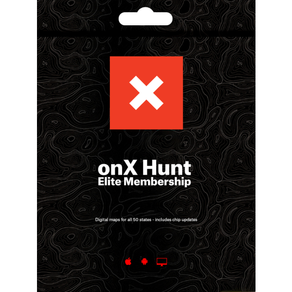
onX App Hunting GPS Map Elite App Membership
SKU
ONXM0038
$99.99
Log in to earn points with purchase
Features
- 50-State Membership
- Sync between and access on Mobile and Computer
- Land Owner Names & Boundaries
- Color-coded Public & Private Lands
- Roads & Trails
- Hunting Areas
- GPS Functionality
- Save Maps (Cache for Offline)
- Includes GPS Chip Updates
- ONXMaps Membership Comparison Chart
Product Description
Do you find yourself hunting in more than one state? The HUNT Elite Membership gains you access to HUNT Map data for all 50 states! Let your hunts expand beyond borders, get an Elite ONXMaps HUNT App Membership today. Every feature you could want in the field and with the Elite GPS Hunting App Membership you have all coverage across the whole country!
GPS hunting app membership advantages include:- Turn Your smartphone, tablet, or computer into a powerful GPS
- 50-State membership—get nationwide trails data, public and private landownership and more!
- Save Maps for Offline Use when out of cell coverage
- Pinpoint private land owner names and property boundaries so you can request access permission
- Navigate confidently around private lands you're not allowed to hunt
- Search for landowners by name—view all parcels they own in an area
- Map your best route with 24K topographical basemaps and slope heat maps
- Retrieve data quickly—all data is hosted on dedicated onXmaps map servers
- Customize your map by turning Map Layers and Basemaps on and off depending on your activity
- Create Geotagged Photo Waypoints and Customized Waypoints
- Sync Waypoints, Tracks, Measurements between your devices
- HUNT lighter! We've combined all your paper maps into a much more customizable digital map suite onto an iOS and Android GPS app.
- Private Landowner Names, Boundaries, and Tax Address
- Public Lands: Nationwide Federal and State (the most accurate and complete nationwide dataset ever created)
- Trail and Trailhead locations, names and numbers
- Geographic and Recreational Point of Interests
- Water Data such as rivers, creeks, and lakes with flow direction
- Weather and Radar
- Campgrounds and secluded Campsites
- National Forest Visitor Maps (save thousands $$$ on paper maps!)
- Motor Vehicle Roads and Trails (MVUM) displaying National Forest System (NFS) Routes (roads and trails) open to motorized travel
- Nationwide USFS Roads
- Nationwide USFS Trails and Wilderness
- USGS Gage Stations
- USGS Snotel (snowfall measurements)
- Wildfire Historic Perimeters
- Active Fires
- Possible Access Lands for each State (BMAs, Access Yes!, and more!)
- Other State-Specific Hunting Map Layers
Video -Welcome to the Hunt
Related Products