E-Scouting Tools and Tips
When researching places to hunt elk, no scouting method is more effective than strapping on the old boot leather and roaming the woods. This method allows you to discover honey holes such as old wallows, elk rubs and perhaps even bones from a previous years kill. When you do run across one of these areas, be sure to mark it on your GPS or smart phone. The elk may not be in these areas during your early season scouting, but the bulls will surely return when the rut starts. Unfortunately, most of us don’t have enough time for this type of boots on the ground scouting, especially when hunting multiple states. So, an effective way to scout an area remotely is by using Topo maps and Google Earth. This form of scouting will give you a basic lay of the land, identify access points, and help you find remote areas which will distance yourself from the crowds. Below are a few suggestions to help you get started.
Download Google Earth
If you haven’t used Google Earth, the first thing you need to do is download this free application from the Internet to your computer. (Works on either a PC or MAC) A simple download only takes a few minutes.
Next, I like to add Topo maps to Google Earth. I’ve included a link to detailed instructions on how to install these maps on a PC. Installing them on the Mac is essentially the same. Once you have accessed the ArcGIS Services Directory, there are many different map overlays that you can add to Google Earth. My favorite is the USA_Topo
_Maps.
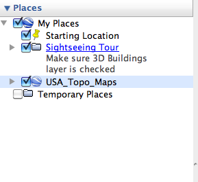
Once I have downloaded the Topo maps to Google Earth, I can switch back and forth between views by simply checking a box on the left navigation bar called USA_Topo Maps.
Benefits of using both Google Earth and Topo Maps
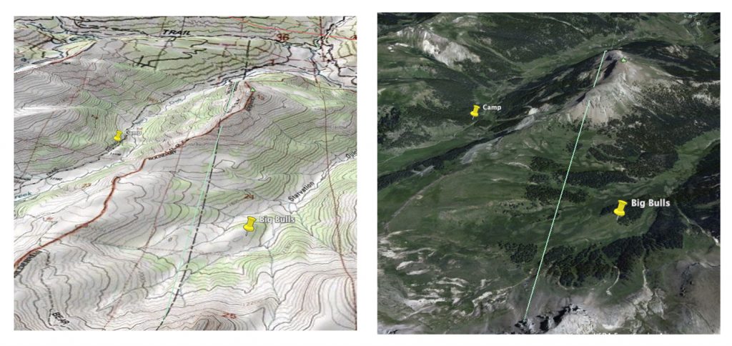
Google Earth alone allows me to see vegetation coverage along with the type of terrain I will be hunting. From this, I can get a good sense of how the drainages lay out and where the elk will most likely feed and bed for the day. But, with the additional Topo Map overlay, I’m able to see how steep the country is by looking at the contour lines. I can also locate streams and other water sources elk might use as well as hiking trails and roads that may not show up on Google Earth. My rule of thumb is to be at least a mile or two off the nearest trail. When I do this, I usually never see another hunter. Below is an example of a side-by-side comparison of the regular Google Earth view and the Topo map overlay. (For a more detailed explanation of how to read a Topo map, visit the following YouTube link)
In addition to getting a lay of the land, I find it helpful to turn on some of the layers like Borders and National Forest boundaries to help me identify public and private land. Most of the State Game and Fish Websites also have Topo maps that outline Game Management Unit (GMU) boundaries that are helpful to study before your hunt.
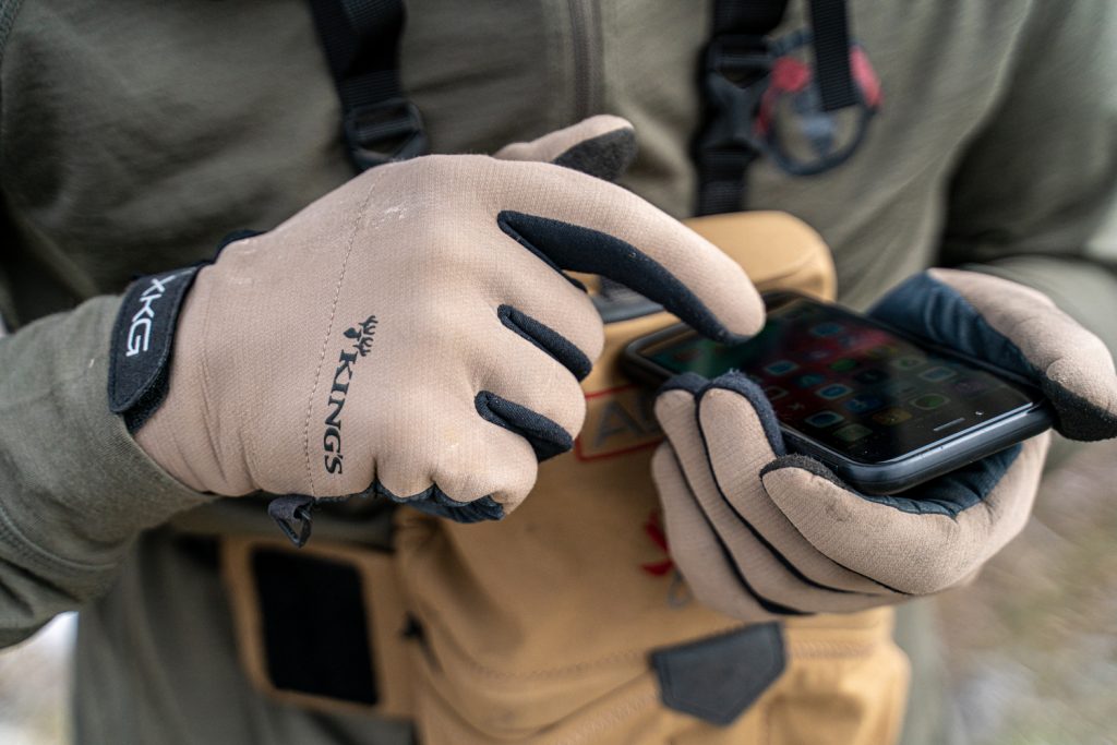
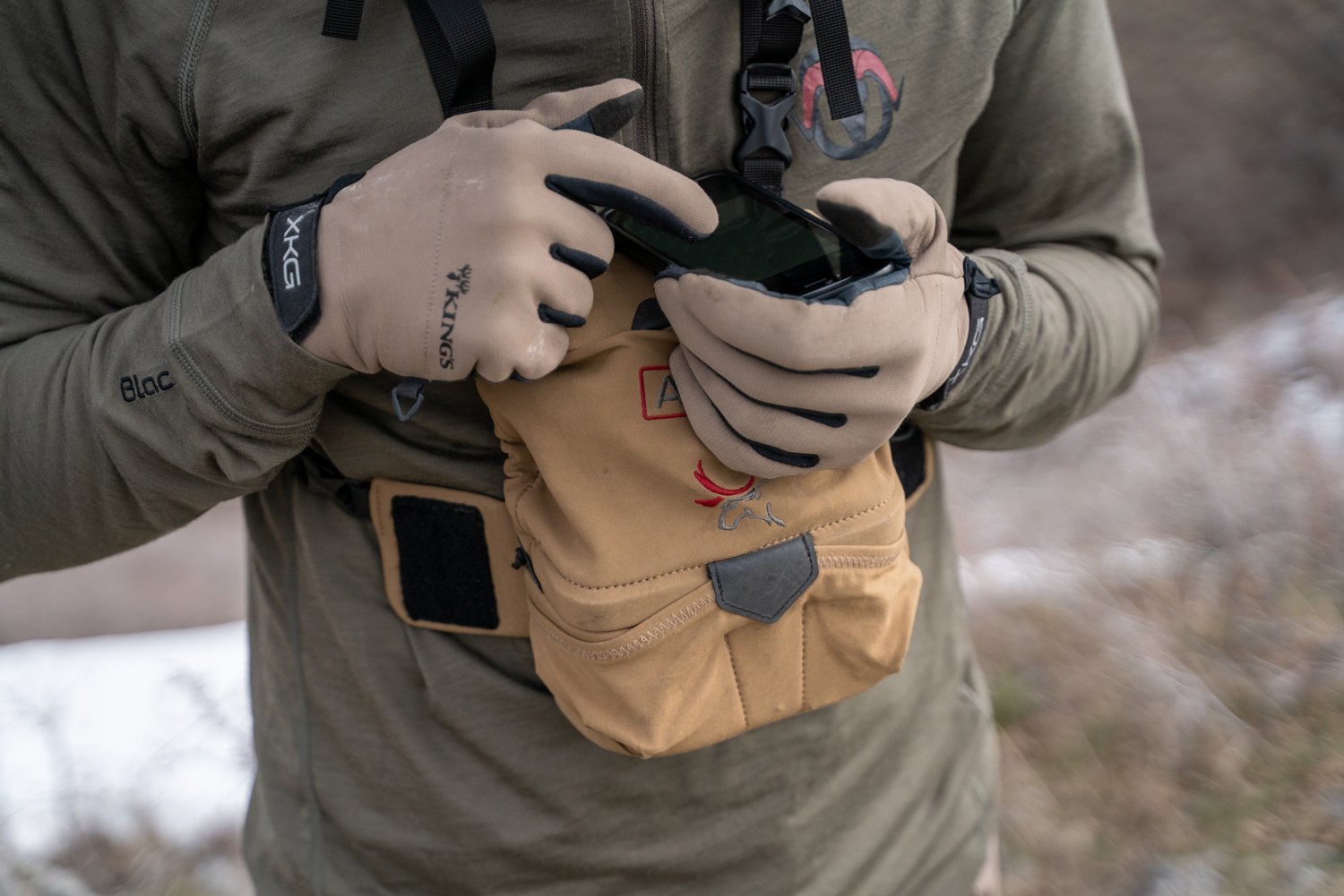
Some of the more popular tools that I find invaluable when scouting and hunting are applications that you can download directly to your smartphone. If you are not using hunting app tools such as OnXmaps, or Basemap, you need to explore one of these options. These resources have been game changing tools to identify hunt unit boundaries, land ownership, animal migrations routes, topography, GPS tracking, waypoints, and many more layers and features. Each application has unique pros and cons so do some research on which program will best meet your needs base on your style of hunting. All of these options will allow you to download maps to your smartphone so it doesn’t matter if you don’t have cellular service when in the hills. Over the years, I have collected a massive database of waypoints, including water sources, camp sites, animal sighting and bedding areas, that have helped me in my scouting and hunt planning.
Conclusion
For me, one of the single most important keys to being a successful hunter year after year is directly related to the time, I spend on scouting the species I am pursuing. I like to hunt about 4-5 western states and it’s unrealistic to put boots on the ground in each of these areas, so I rely heavily on these tools. There is always a learning curve to hunting new areas but hopefully you can find success this fall by using a few of these tools and tips. Good Hunting!!
-Mark Skousen